❯ cat projects/network-map.md
Community Network Map
Mars College · 2026
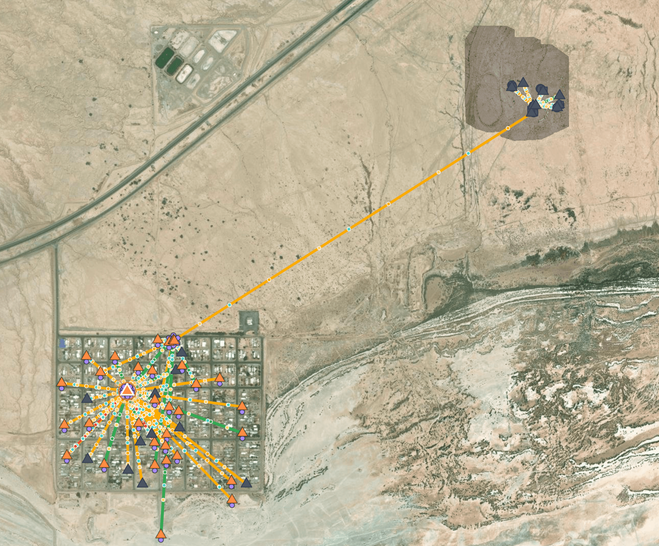
A live map of an off-grid desert community's shared network: every radio, access point and client at real coordinates, with a time bar to replay usage.
- my part
- Design & development, data pipeline, on-site GPS checks.
- stack
- OpenLayers, UniFi / UISP APIs, Data pipelines
- links
- Live map, Studio case study
## context
Mars College is an off-grid community in the desert near Bombay Beach, CA. The town and campus run on one community-run LAN.
## challenge
The controller dashboards showed the network as lists, not as it sits on the ground. Google Maps doesn't show a community that builds and unbuilds itself every season.
## what i built
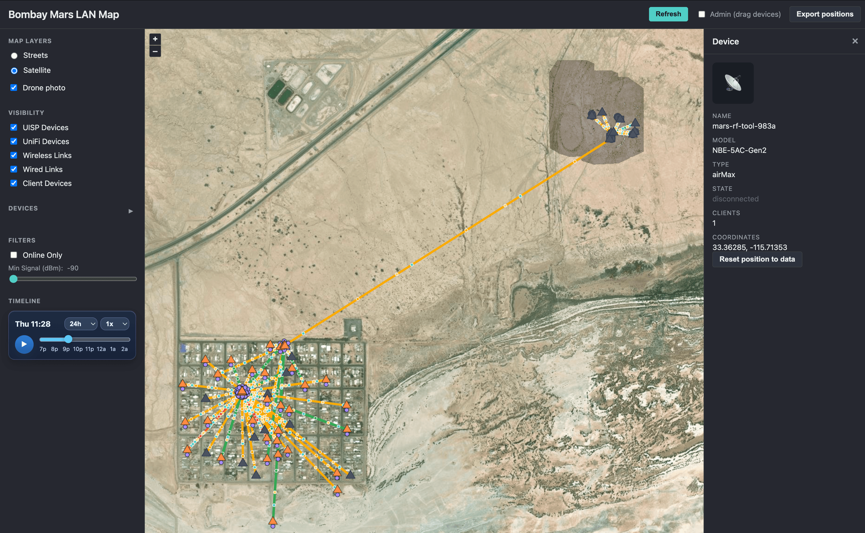
A map with three basemaps (streets, satellite and a drone orthophoto), every device and link at its real position, light animation suggesting traffic, and a time bar to scrub sampled snapshots of usage and client connectivity. The detail panel shows IP, signal strength, access point, uptime and traffic for each client.
## approach & trade-offs
A small pipeline reads the UniFi and UISP controllers and places devices on the map. DJI drone photos were stitched into one orthophoto aligned to the Google Maps projection, and access point positions were checked on site with GPS. The frontend is OpenLayers.
## outcome
The live network is gone: it comes down with the buildings at the end of each season. The map is now a replay, rebuilt from snapshots and timeline logs captured while the network was alive.
--